News
Freshwater
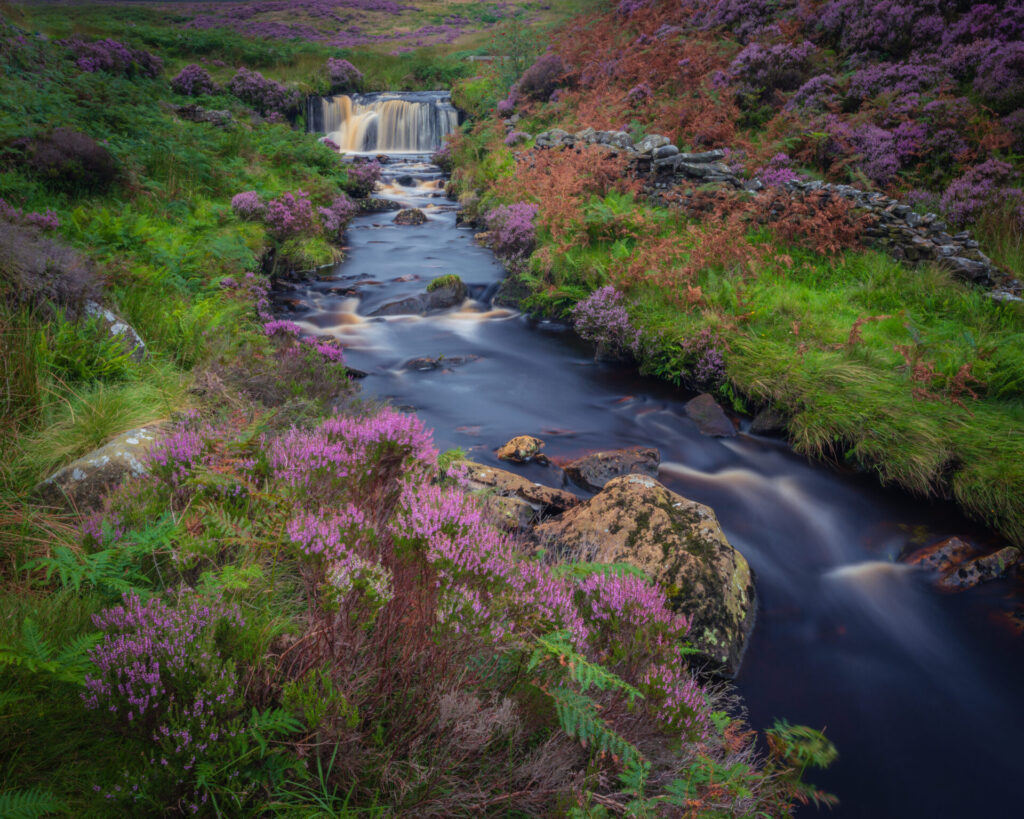
Nidderdale National Landscape is a haven for diverse freshwater habitats. Rivers and streams starting as tiny trickles in the upland moorlands, then flowing through valleys and becoming wider and slower. There are three main river valleys: Nidderdale, Washburn Valley, and Colsterdale. The River Nidd even takes a fascinating underground journey through cave systems, creating unique habitats along the way.
The area is dotted with several man-made lakes and 11 reservoirs, with Gouthwaite Reservoir being the largest. These reservoirs not only supply drinking water but also help regulate river flows. Nidderdale is also known for its numerous ponds, with nearly 1,600 mapped.
Freshwater habitats here also include wet areas of moorland, woodland, and grassland, such as flushes, wet woodlands, and lowland fens. These small, fragmented habitats are scattered across the landscape, collectively referred to as ‘wetland’ habitats.
Our work focuses on
- Working directly with farmers, land manager through the Catchment Sensitive Farming programme we offer advice on reducing water and air pollution from agricultural land and how to access funding to support on the ground changes needed.
- Creating new habitat. Over the last 18 months the Farming in Protected Landscapes Project (FiPL) has supported landowners in creating wetland features. We have worked on 17 sites, creating 52 ponds, 25,566m2 of scrapes and also restored 6 ponds.