Dark Skies
Reservoirs
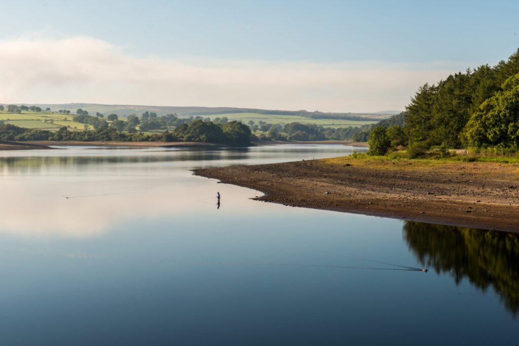
The construction of Nidderdale’s reservoirs transformed the landscape and ensured a plentiful supply of water for nearby cities.
As Leeds and Bradford expanded rapidly in the eighteenth and nineteenth centuries, there was a growing need for a reliable water supply. By the late nineteenth century, Nidderdale’s Washburn, Nidd and Colsterdale valleys were chosen as ideal locations for reservoirs, thanks to their steep sided valleys, underlying geology and high rainfall.
Nidderdale has eleven reservoirs. The construction of reservoirs in the Washburn Valley (Lindley Wood, Swinsty, Fewston and Thruscross) created a striking landscape by flooding most of the valley bottom’s settlements and textile mills in the process. The remnants of the abandoned village of West End are revealed at Thruscross during droughts.
Angram and Scar House reservoirs were built at the head of Nidderdale in a huge engineering endeavour. A railway was built to carry goods and people to and from the remote construction sites and a whole temporary village sprung up at Scar House to house workers and their families.
Today, the reservoirs are a popular place for walking, cycling and fishing.
Watch: Introduction to Scar Village, Nidderdale
Explore it for yourself …
Follow the Scar House Reservoir Heritage Trail to enjoy the wild remote landscape around Scar House and breathtaking views of Great Whernside from Angram reservoir’s dam wall. The road leading to Scar House winds alongside Gouthwaite reservoir, where a convenient car park near Ramsgill provides the perfect opportunity to pause and spot a wide range of birdlife.
Admire wonderful views of Leighton reservoir from the Druid’s Temple near Masham.
Swinsty Reservoir Walk offers a 3 mile circular route in the picturesque Washburn Valley with hard surfaced paths and accessible facilities. Extend your walk with the nearby Fewston Reservoir Walk or call in at the Washburn Heritage Centre for exhibitions on the valley’s heritage and a tea room at weekends (please check their website for opening hours).